With all-constellation all-frequency support and designed for use in high-precision applications such as drones, robots, precision agriculture, surveying, mapping, vehicle navigation, telecom and more, NebulasIV™ offers outstanding RTK and Heading performance at affordable pricing.
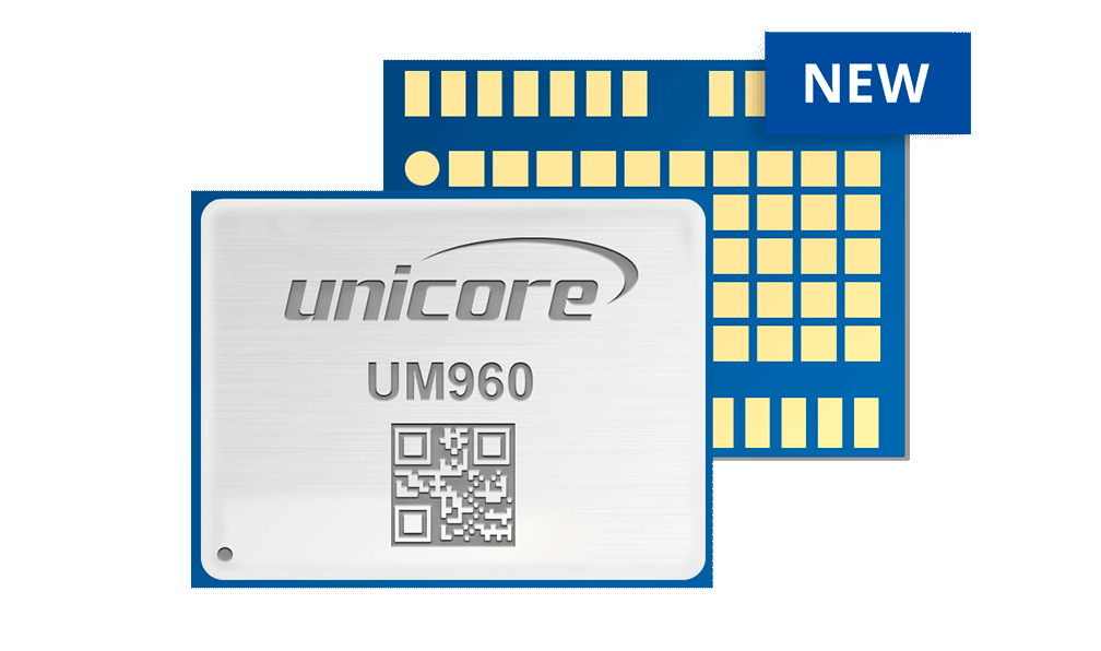
UM960 Miniature All-Constellation, Multi-Frequency, High Precision RTK Positioning Module
UM960 is Unicore’s new-generation proprietary ‘miniature’ high-precision positioning module, based on the Nebulas IV™ SoC. The UM960 simultaneously tracks multiple frequencies of all GNSS systems enabling the module to output high-precision RTK positioning.
Applications
-
UAV’s have been widely used in aerial photography, electrical, pipeline and facility inspections, agricultural mapping / inspection, aerial surveillance as well as for film and home entertainment purposes. Flight control systems have a significant impact on the stability, reliability,
-
The use of robots is spreading in day-to-day life. From remote delivery vehicles to remote inspection services to automated lawn mowing or line painting robots, the use of robotic machines is growing. Precise positioning and heading play an important role when it comes to the
-
The growth of automation in agricultural production has greatly raised productivity and changed the traditional farm into an efficient state-of-the-art operation. The use of GNSS enables agricultural machinery to be precisely positioned in the field.
-
Robust and reliable positioning is a cornerstone of Unicore Communications product offering. Surveying and Mapping applications require a quick yet reliable and accurate solution. Unicore products are widely used by Survey instrument manufactures for these reasons.
-
An important part of strategic emerging industries, intelligent driving is a typical application of the combination of industrial revolution and artificial intelligence and will be an important technology in the elimination of traffic congestion in the coming years, improving
Features
-
Core Features
- Latest generation GNSS SoC – Nebulas IV™, with integrated RF, baseband, and high precision processing algorithm’s
- Small 16.0 x 12.2 x 2.4 mm surface-mount package
- Supports all-constellation multi-frequency RTK engine and advanced RTK technology
- Low power-consumption of ~440mW
- Supports GPS L1/L2/L5, GLONASS L1/L2, Galileo E1/E5a/E5b, Beidou B1I/B2I/B3I, QZSS L1/L2/L5 and SBAS
- Independent tracking of satellite frequencies and 60dB narrowband anti-jamming technology
Performance
Channels
1408 channels based on Nebulas IV™Satellite Systems & Frequencies
GPS: L1C/A, L2P(W), L2C, L5
Galileo: E1, E5a, E5b
Beidou: B1I, B2I, B3I
Glonass: L1, L2
QZSS: L1, L2, L5Autonomous Positioning Accuracy
Horizontal:1.5m
Vertical:2.5mDGNSS Positioning Accuracy
Horizontal:0.4m
Vertical:0.8mRTK Positioning accuracy
Horizontal:0.8cm + 1ppm
Vertical:1.5cm + 1ppmPackaging
24 pin LGAPower Consumption
480mW (typical)Size / Dimensions
12.2 x 16.0 x 2.4mmWeight
1.11+/- 0.03g
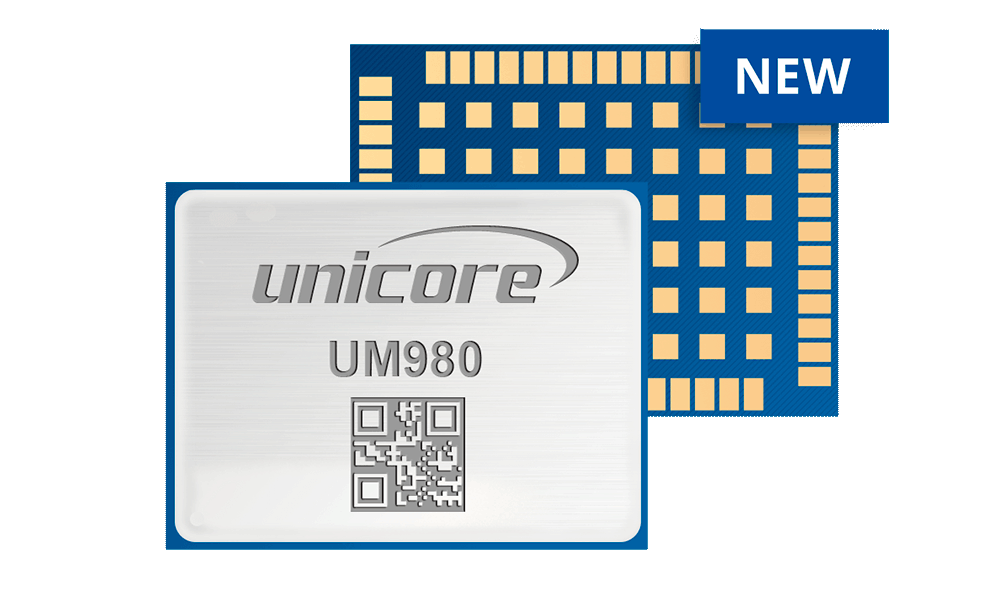
UM980 All-constellation, All-Frequency, High Precision RTK Positioning Module.
UM980 is Unicore’s new-generation proprietary high-precision positioning, based on the Nebulas IV™ SoC. The UM980 simultaneously tracks multiple frequencies of all GNSS systems, enabling the module to output high-precision RTK positioning.
Applications
-
UAV’s have been widely used in aerial photography, electrical, pipeline and facility inspections, agricultural mapping / inspection, aerial surveillance as well as for film and home entertainment purposes. Flight control systems have a significant impact on the stability, reliability,
-
The use of robots is spreading in day-to-day life. From remote delivery vehicles to remote inspection services to automated lawn mowing or line painting robots, the use of robotic machines is growing. Precise positioning and heading play an important role when it comes to the
-
The growth of automation in agricultural production has greatly raised productivity and changed the traditional farm into an efficient state-of-the-art operation. The use of GNSS enables agricultural machinery to be precisely positioned in the field.
-
Robust and reliable positioning is a cornerstone of Unicore Communications product offering. Surveying and Mapping applications require a quick yet reliable and accurate solution. Unicore products are widely used by Survey instrument manufactures for these reasons.
-
An important part of strategic emerging industries, intelligent driving is a typical application of the combination of industrial revolution and artificial intelligence and will be an important technology in the elimination of traffic congestion in the coming years, improving
Features
-
Core Features
- Latest generation GNSS SoC – Nebulas IV™, with integrated RF, baseband, and high precision processing algorithm’s
- Small 17 x 22 x 2.6 mm surface-mount package
- All-system multi-frequency RTK engine with advanced “Instantaneous RTK Initialization Technology”
- Low power-consumption of ~480mW
- Supports GPS L1/L2/L5, GLONASS L1/L2/L3, Galileo E1/E5a/E5b, BDS B1I/B2I/B3I/B1C/B2a/B2b*, QZSS L1/L2/L5, SBAS
- Independent tracking of each frequency and 60dB narrowband anti-jamming technology
- “RTK KEEP” technology for extended precision positioning after loss of base-station corrections
Performance
Channels
1408 channels based on Nebulas IV™Satellite Systems & Frequencies
GPS: L1C/A, L1C*, L2P(Y), L2C, L5
Galileo: E1, E5a, E5b, E6
Beidou: B1I, B2I, B3I, B1C, B2a, B2b*
Glonass: L1, L2, L3
QZSS: L1, L2, L5, L6*Autonomous Positioning Accuracy
Horizontal:1.5m
Vertical:2.5mDGNSS Positioning Accuracy
Horizontal:0.4m
Vertical:0.8mRTK Positioning accuracy
Horizontal:0.8cm + 1ppm
Vertical:1.5cm + 1ppmPackaging
54 pin LGAPower Consumption
480mW (typical)Size / Dimensions
17 x 22 x 2.6mmWeight
1.88+/- 0.03g
Note: Items marked with * are only supported by specific firmware.
UM4B0
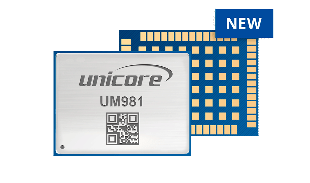
UM981 all-constellation Multi-frequency RTK/INS Integrated Navigation Module.
The UM981 is a next generation BDS/GPS/GLONASS/Galileo/QZSS full-system, full-frequency RTK/INS integrated navigation module, based on the NebulasIV integrated GNSS SoC chip independently developed by Unicore. The UM981 effectively solves the interruption of positioning results caused by the loss of satellite signals, and can provide continuous high-quality navigation in complex environments, such as cityscapes, tunnels, viaducts, and high growth vegetation shade.
Applications
-
UAV’s have been widely used in aerial photography, electrical, pipeline and facility inspections, agricultural mapping / inspection, aerial surveillance as well as for film and home entertainment purposes. Flight control systems have a significant impact on the stability, reliability,
-
The use of robots is spreading in day-to-day life. From remote delivery vehicles to remote inspection services to automated lawn mowing or line painting robots, the use of robotic machines is growing. Precise positioning and heading play an important role when it comes to the
-
The growth of automation in agricultural production has greatly raised productivity and changed the traditional farm into an efficient state-of-the-art operation. The use of GNSS enables agricultural machinery to be precisely positioned in the field.
-
GNSS technology not only provides high precision positioning thru techniques such as RTK, it is ideal as a heading or orientation system as well. By merging two GNSS RF components onto a single board or module and combining with other associated components,
-
Robust and reliable positioning is a cornerstone of Unicore Communications product offering. Surveying and Mapping applications require a quick yet reliable and accurate solution. Unicore products are widely used by Survey instrument manufactures for these reasons.
-
An important part of strategic emerging industries, intelligent driving is a typical application of the combination of industrial revolution and artificial intelligence and will be an important technology in the elimination of traffic congestion in the coming years, improving
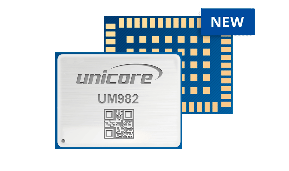
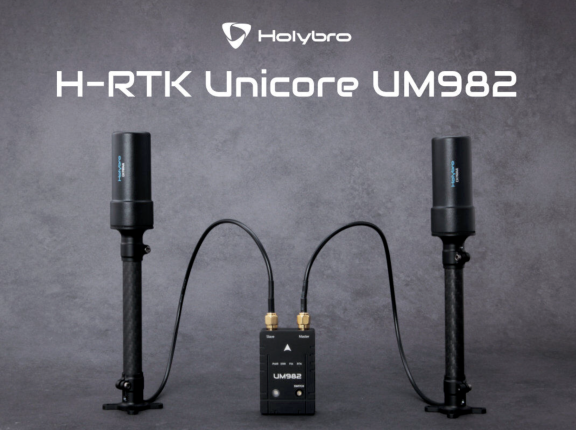
UM982 All-Constellation, Multifrequency, High Precision, Affordable RTK Positioning and Heading Module.
UM982 is Unicore’s new-generation proprietary high-precision positioning and heading module, based on the Nebulas IV™ SoC. The UM982 simultaneously tracks multiple frequencies of all GNSS systems, enabling the module to output high-precision RTK positioning and dual-antenna heading calculations.
Applications
-
UAV’s have been widely used in aerial photography, electrical, pipeline and facility inspections, agricultural mapping / inspection, aerial surveillance as well as for film and home entertainment purposes. Flight control systems have a significant impact on the stability, reliability,
-
The use of robots is spreading in day-to-day life. From remote delivery vehicles to remote inspection services to automated lawn mowing or line painting robots, the use of robotic machines is growing. Precise positioning and heading play an important role when it comes to the
-
The growth of automation in agricultural production has greatly raised productivity and changed the traditional farm into an efficient state-of-the-art operation. The use of GNSS enables agricultural machinery to be precisely positioned in the field.
-
GNSS technology not only provides high precision positioning thru techniques such as RTK, it is ideal as a heading or orientation system as well. By merging two GNSS RF components onto a single board or module and combining with other associated components,
-
In-vehicle Infotainment systems integrate audio and video entertainment with information services, providing functions such as navigation, positioning, audio and video play, fault detection, vehicle maintenance, emergency rescue and so on. With the evolution
Features
-
Core Features
-
Latest generation GNSS SoC – Nebulas IV™, with integrated RF, baseband, and high precision processing algorithm’s
-
Small 16 x 21 x 2.6 mm surface-mount package
-
Centimeter-level RTK positioning with 0.2° heading accuracy
-
Low power-consumption of ~600mW
-
Supports GPS L1/L2/L5, GLONASS L1/L2, Galileo E1/E5a/E5b, Beidou B1I/B2I/B3I, QZSS L1/L2/L5 and SBAS
-
Independent tracking of each frequency and 60dB narrowband anti-jamming technology
-
“INSTANT HEADING” algorithm ensures usability and reliability of the heading function
-
“RTK KEEP” technology for extended precision positioning after loss of base-station corrections
-
Performance
Channels
1408 channels based on Nebulas IV™Satellite Systems & Frequencies
GPS: L1C/A, L2P(Y), L2C, L5
Galileo: E1, E5a, E5b
Beidou: B1I, B2I, B3I, B1C
Glonass: L1, L2
QZSS: L1, L2, L5Autonomous Positioning Accuracy
Horizontal:1.5m
Vertical:2.5m
Heading (RMS): 0.2°/1m baselineDGNSS Positioning Accuracy
Horizontal:0.4m
Vertical:0.8m
Heading (RMS): 0.2°/1m baselineRTK Positioning accuracy
Horizontal:0.8cm + 1ppm
Vertical:1.5cm + 1ppm
Heading (RMS): 0.2°/1m baselinePackaging
48 pin LGAPower Consumption
480mW (typical)Size / Dimensions
16 x 21 x 2.6mmWeight
1.82+/- 0.03g
UM482
-
Product News
Holybro, a leading hardware provider in the drone industry, has made significant strides in advancing UAV navigation. At Xponential 2023, we had the privilege of connecting with Vincent Poon, Holybro's CTO, who introduced introduced their integration of Unicore's advanced chips, elevating the heading and positioning accuracy in their drones.
Accurate heading and positioning are crucial for drone navigation, spanning applications like aerial surveying, precision agriculture, and…
Patrick Marvin Casiano |
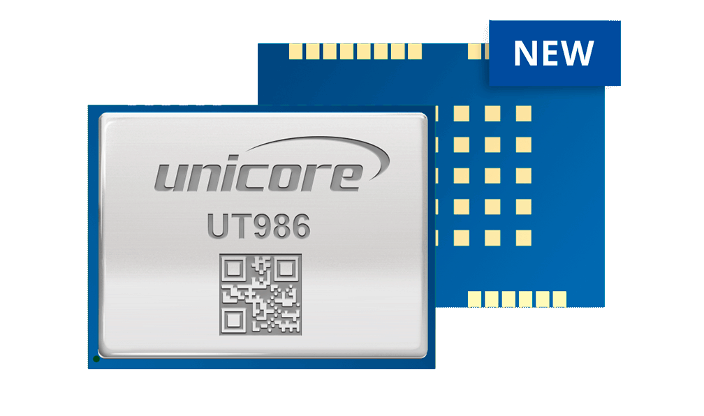
UT986 all-constellation Multi-frequency High Precision Timing Module.
UT986 is a new generation of GNSS high precision timing module supporting all constellations and multiple frequencies. It is based on the RF-baseband integrated GNSS SoC — NebulasIV™ , and is mainly used in power grids and telecom base station timing.
The UT986 module can provide nanosecond-level PPS accuracy, support fixed-location timing, optimized-location timing, and positioning timing, and remain good timing accuracy even in complex signal environments.
Featuring a compact size of 17.0 mm × 22.4 mm × 2.4 mm, it adopts SMT pads, supports standard pick-and-place and fully automated integration of reflow soldering, and is compatible with previous generation of timing products as well as mainstream products on the market.
Product Data Sheet Request
Comprehensive product feature specifications.
Lorem ipsum dolor sit amet, consectetur adipiscing elit. Nullam quis augue eu arcu tempor tincidunt mattis in ligula. Donec malesuada, ex non congue porta, ligula metus bibendum velit, accumsan hendrerit mi odio non ligula. Ut non arcu ligula. Sed ut efficitur est. Phasellus pharetra ipsum vel placerat feugiat.